About us
Delivering Mission Critical Enterprise Applications
-
F3 Technologies has grown organically. Along with Pakistan and Ireland, it now has offices in Australia, Belgium, New Zealand, Qatar, UAE, UK, and South Africa.
-
Globally, we employ a staff of over 400 and will keep extending our business in the world of technology. Locally, F3 Technologies works with the “Pakistan Software Export Board” along with various international organizations.
- More About Us


Latest News
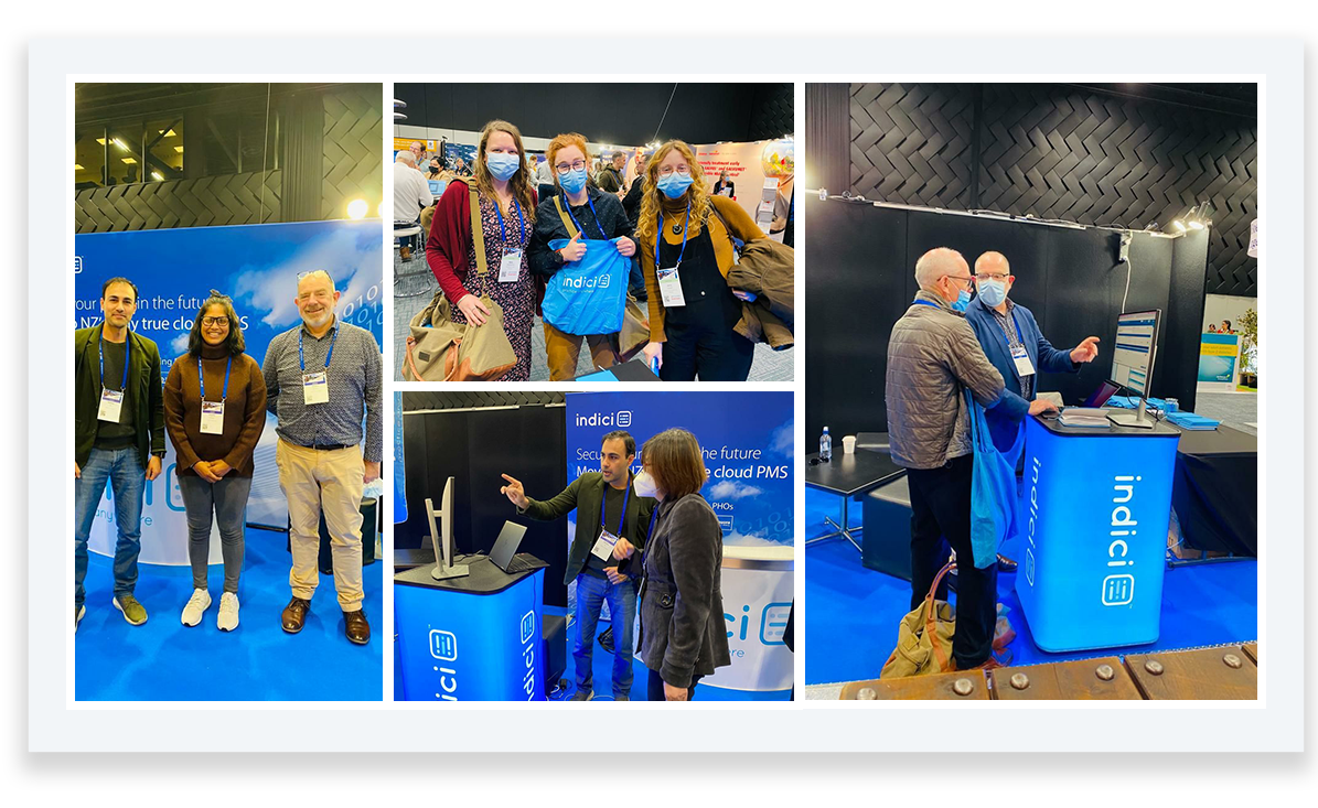
Team INDICI meetup
After 3 years of virtual meetings, Team INDICI is meeting their users in person.
All NewsOur Services
What We Do
Web App Development
Our Web App Development team is experienced in creating functional and secure websites that meet the requirements of the client.
Mobile App Development
Our top-notch mobile app development team is highly skilled to create, test and develop applications for phones and tablets.
Games Development
F3’s creative and enthusiastic Games team is experienced in translating basic ideas into beautifully crafted games that meet client’s requirements.
Quality Assurance
Our Quality Assurance team ensures that all products are made with quality and meet the established standards set by the company.
Cybersecurity
Our Cybersecurity team is experienced in discovering vulnerabilities / risks in networks and software. Our team effectively manage any potential attacks that may occur to make sure the information isn't compromised.
Creative Designing
Our brilliant creative team is experienced in creating beautiful posters, logos, designs and making everything aesthetically pleasing.


Career
Join Our Team
Life at F3 Technologies is dynamic and fun, a place where people love to work. A career with freedom and full of learning. We are continually in search of the brightest and talented individuals from around the globe. Come and discover amazing career opportunities.
Jobs
Internships
Our Incentives
Employee Benefits

F3 Health Insurance
Health Incentives
Employee Bonuses
Rewards
Training & Grooming Programs
Self-worth